Winchester, MA Neighborhoods
A Comprehensive Guide to Middlesex County Residential Enclaves

Winchester MA Neighborhood Boundaries & Logistics
Winchester, MA is an affluent, historically established residential town located in Middlesex County, entirely self-contained within ZIP code 01890 and holding a localized community footprint approximately eight miles north of downtown Boston. Celebrated for its architectural preservation and premium school placement layout, this master-planned geographic region is divided into distinctive lifestyle segments. This neighborhood guide profiles the structural layout parameters, elementary school zone matrices, and residential housing baselines across the town.
Discover Winchester, Massachusetts
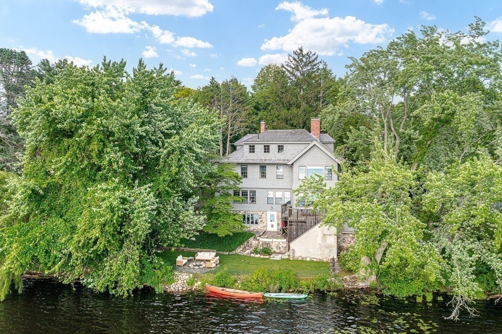
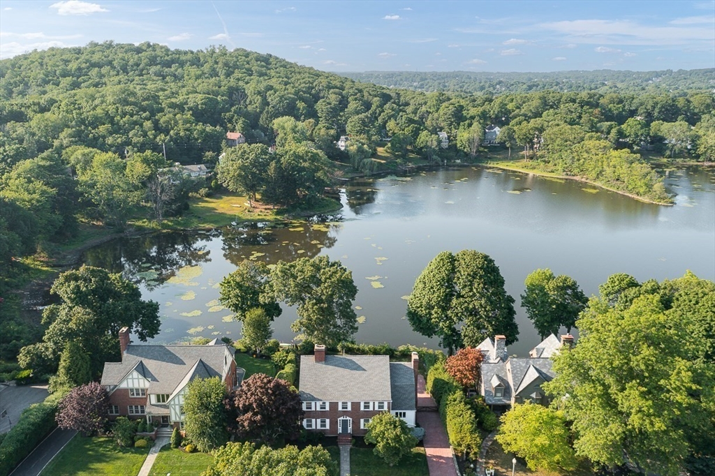
Nestled beautifully in the Aberjona River valley, Winchester offers an exceptional balance of scenic New England landscapes and urban convenience. Incorporated in 1850 after evolving from its 17th-century agricultural roots, the town maintains strict oversight over its historic residential corridors, safeguarding its high-value aesthetic identity.
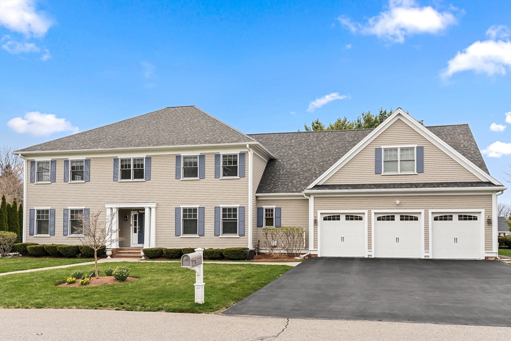
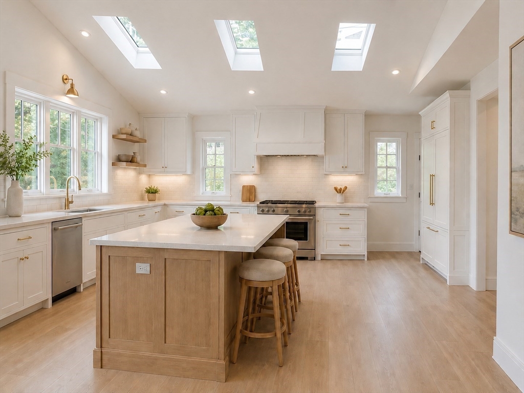
Today, the local marketplace tracks at a stable baseline, commanded by a verified residential single-family median home price of $1.52M. Home buyers navigate a diverse property template, spanning beautifully preserved Victorian and Colonial compounds to custom-built contemporary modern estates located near local conservation trails.

Winchester Public School Zone Assignments
Cross-referencing residential enclaves with standardized district boundaries
Residential Enclave | Elementary School Zone | Middle School Placement | High School Placement |
|---|---|---|---|
West Side Ridge Corridors | Ambrose Elementary School | McCall Middle School | Winchester High School |
The Flats & Center Incline | Lincoln Elementary School | McCall Middle School | Winchester High School |
The Highlands / North End | Vinson-Owen Elementary School | McCall Middle School | Winchester High School |
East Side Parks / Muraco Tier | Muraco Elementary School | McCall Middle School | Winchester High School |
South End / Wedgemere Line | Lynch Elementary School | McCall Middle School | Winchester High School |
Seeking Active Property Appraisals or Live Listings?
This geographic portal covers community boundary lines, public school infrastructure, and lifestyle profiles. If you want to analyze live inventory sheets, browse upcoming single-family homes, or evaluate historical transaction logs, access our live transactional property hub.
Premier Residential Enclaves
Mapping structural traits and local real estate parameters street by street
$1.5M+ Baseline
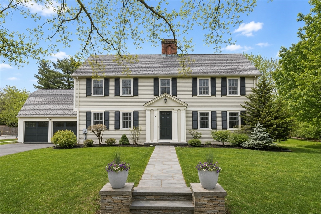
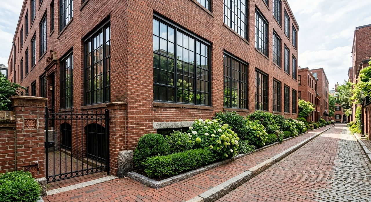
West Side
The West Side features elegant tree-lined streets climbing toward the Middlesex Fells. Properties here mix grand historic Victorians with colonial compounds situated near the upper Mystic Lakes and the Winchester Country Club.
$1.2M+ Baseline
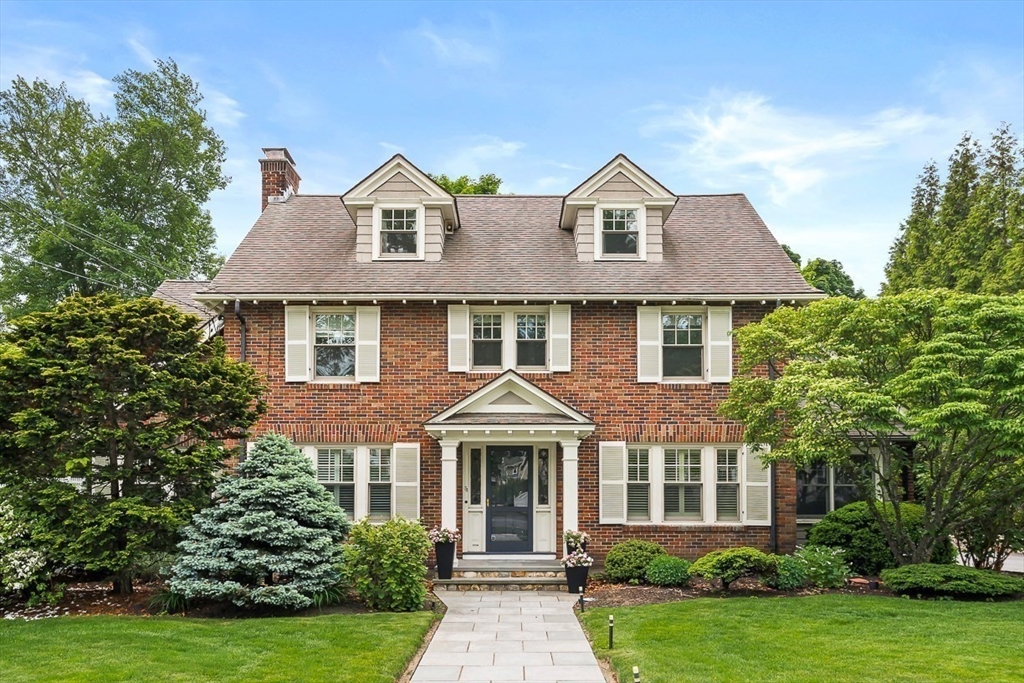
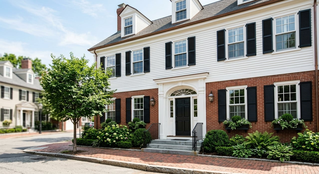
Winchester Center & Flats
The Center and its adjacent flat terrain emphasize sidewalk connectivity. Homes are situated within easy walking distance of the historic Town Common retail district, the public library, and the central MBTA commuter rail station.
$1.1M+ Baseline
East Side
The East Side offers stable suburban tree covers combined with exceptional playground assets. Home to the expanded Skillings Field complexes, this sector serves as an ideal choice for buyers prioritizing community fields.
$1.3M+ Baseline
South End
Framing the Arlington border line, the South End showcases refined townhouse settings and proximity to Wedge Pond. It is heavily favored by young professionals utilizing the secondary Wedgemere MBTA platform link.
Rich Historical Legacy
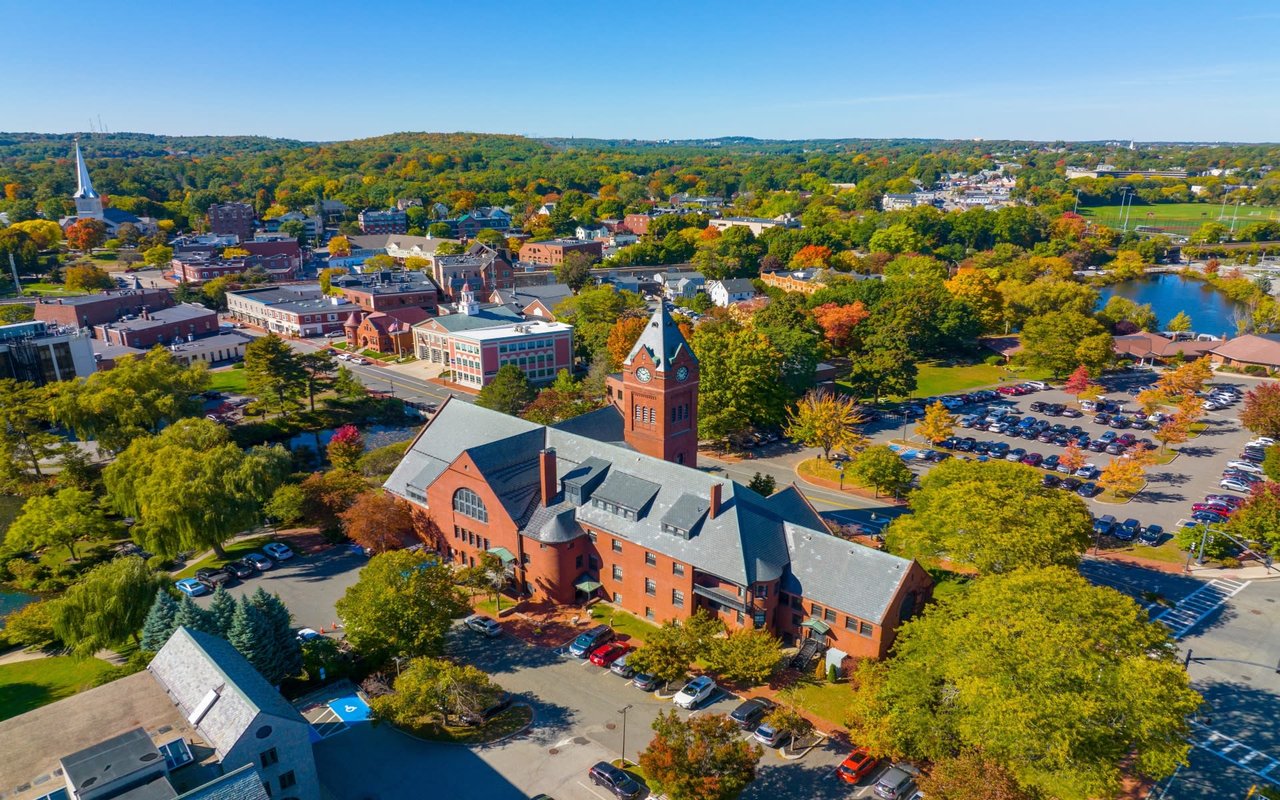
Winchester's history reflects careful New England civic planning. Officially incorporated in the mid-19th century, the town center continues to rotate around the preserved Town Common reservation space, which has hosted resident gatherings for generations.
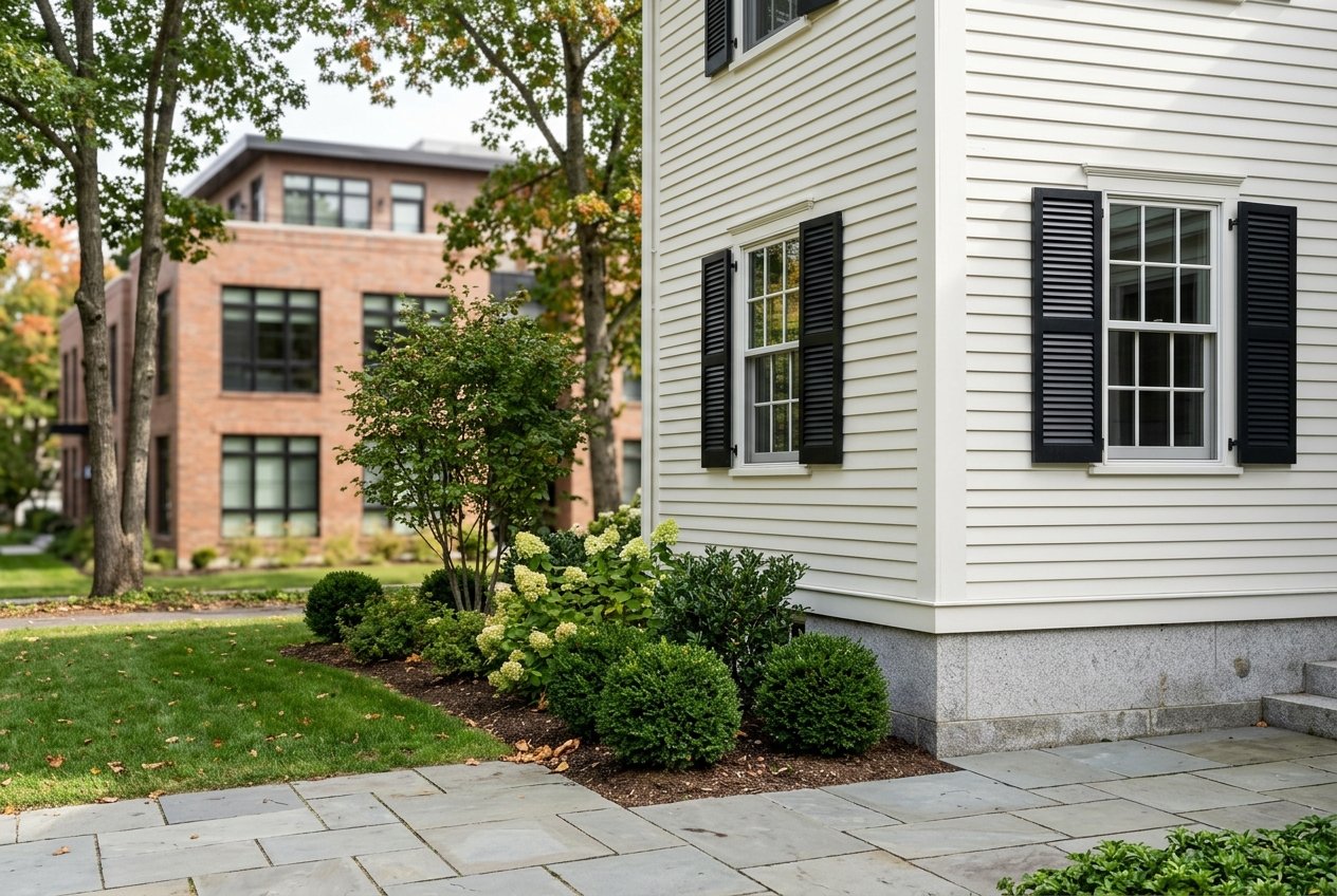
Local zoning panels maintain strict guidelines regarding exterior architectural profiles across historic sectors. This dedication ensures that single-family renovations preserve original structural facades, securing home valuations against aesthetic shifts.

Explore Winchester Lifestyle Infrastructure
Frequently Asked Questions
What defines the primary layout of Winchester MA neighborhoods?
Winchester is geographically structured around its central river plain and train corridors, scaling upward into distinct elevated ridges. The West Side and Highlands contain larger historic custom compounds, whereas the Center and Flats tiers favor grid-style walkability near schools and retail shops.
How do public school assignments function across Winchester enclaves?
Winchester operates 5 distinct neighborhood elementary school districts: Ambrose, Lincoln, Lynch, Muraco, and Vinson-Owen. Home coordinates determine your child's primary school placement line, while all town students track into a single middle school (McCall) and high school (Winchester High).
What is the average commute timeline from Winchester to downtown Boston?
The transit infrastructure features two active MBTA commuter rail access nodes (Winchester Center and Wedgemere), delivering commuters directly into Boston North Station in approximately 25 minutes. Vehicle commutes via Interstate 93 range from 30 to 45 minutes depending on peak traffic volume blocks.
Are residential properties subject to strict architectural preservation laws?
Yes. Specific historic overlays and neighborhood districts enforce specialized structural review boards. Prior to executing major exterior remodels or demolition plans, owners must secure design approvals to ensure adjustments match traditional New England architectural profiles.
What is the current baseline valuation for single-family homes in Winchester?
According to current 2026 MLS data tracks, the residential single-family tier holds a stable median sales marker of $1.52M. The marketplace reflects high baseline demand, averaging 3 competitive multi-bids per listing file with an average duration of 24 days on market.
Which neighborhood is best for park and trail access?
The West Side provides direct entry parameters to the vast trail tracks of the Middlesex Fells Reservation and the banks of the Mystic Lakes. For urban field systems, the East Side borders the newly retrofitted Skillings Field recreational spaces.